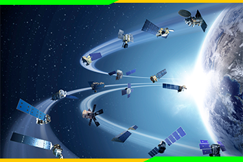
Remote Sensing is the process of gathering information about a geographic location without getting into physical contact with it. This is enabled by the use of satellites. This course outlines how remote sensing is used in various fields.
- 4 Sections
- 15 Lessons
- 10 Weeks
Expand all sectionsCollapse all sections
- Introduction to Remote Sensing5
- RS applications in military3
- RS applications in agriculture4
- The potential of remote sensing for monitoring rural land use changes and their effects on soil conditions3

